Category: Case studies
A series of case studies showing how OpenStreetMap is being used. Have your own case study you would like to see on this site? Contact us to arrange for it to be uploaded here.
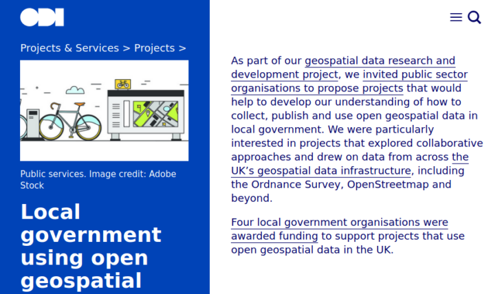
Local governments using open geospatial data to make a difference
In 2019 as part of a geospatial data research and development project, the Open Data Institute (ODI) invited public sector organisations to propose projects that collect, publish and use open […]
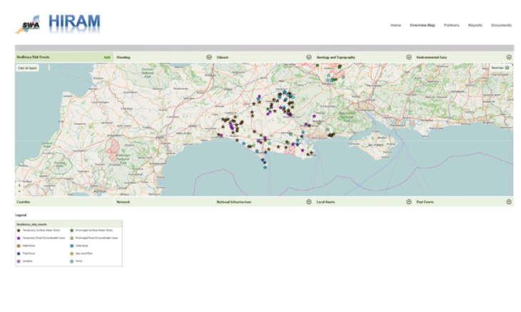
OpenStreetMap assists with Climate Change Resilience Planning
Responding to the increased frequency of weather-related road closures and the difficulty of securing government funding to mitigate the risks, a group of 14 councils organised in the South West […]

University of Northampton’s new Waterside Campus mapped
The University of Northampton’s new Waterside Campus may have opened in September 2018 but even by early 2019 it remains a comparative wasteland on map providers such as Google Maps. […]

St Albans Unlocked: Hearing OpenStreetMap through Soundscape
There are many people that live with sight loss for which taking a trip to shops or visiting a nearby tourist attraction can be stressful and often has to be […]
Birmingham City Council: leveraging traffic sensor data
Birmingham City Council redesigned their approach to intelligent mobility through the release of open data sets for traffic sensors using OpenStreetMap for speed, cost and open-ness. The publication of traffic […]
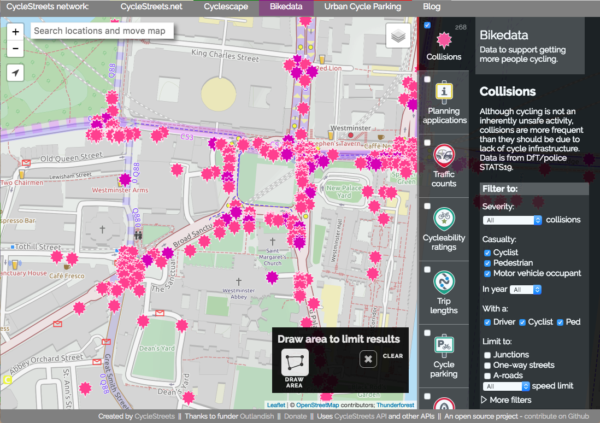
CycleStreets: Powering cyclists with OpenStreetMap
CycleStreets is a social enterprise, promoting cycling by the provision of UK-wide information on cycle-friendly routes, and various tools for cycle advocacy groups. CycleStreets is one of the earliest high-profile […]
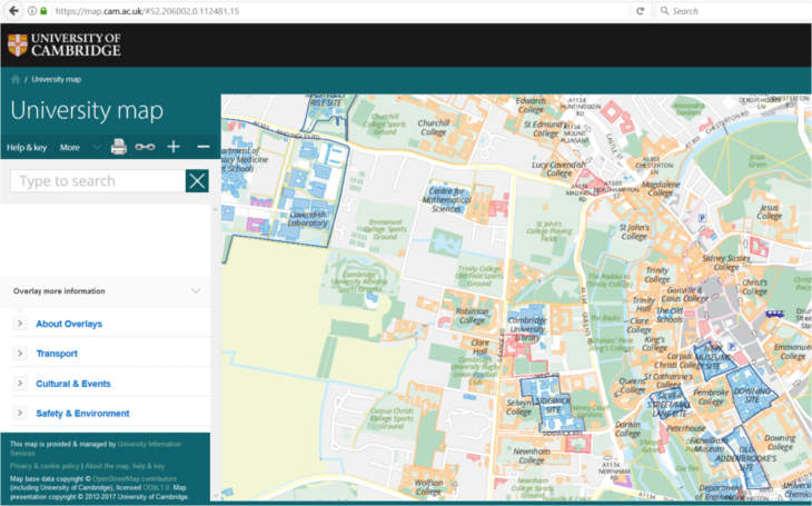
Mapping a distributed campus for the University of Cambridge
In 2011, the University of Cambridge needed to update its map services for visitors, new staff and students. Unlike most UK universities, it does not occupy a campus: it is […]
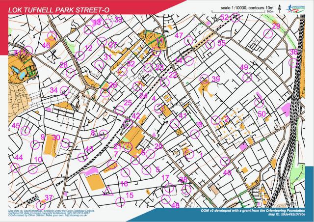
OpenOrienteeringMap
OpenOrienteeringMap (not to be confused with the new OpenOrienteering Mapper project) is an orienteering map of the world, based on OpenStreetMap data. There are three formats; Street-O Plus, Street-O Lite and Pseud-O. […]
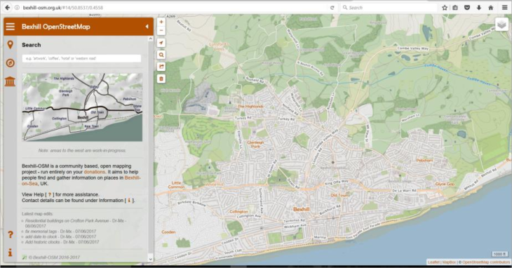
Bexhill OSM: Celebrating local pride
Bexhill is a rather traditional British town – it has a lot of independent businesses and a wealth of history. Local mapper Alexis Markwick wanted to herald this with an […]
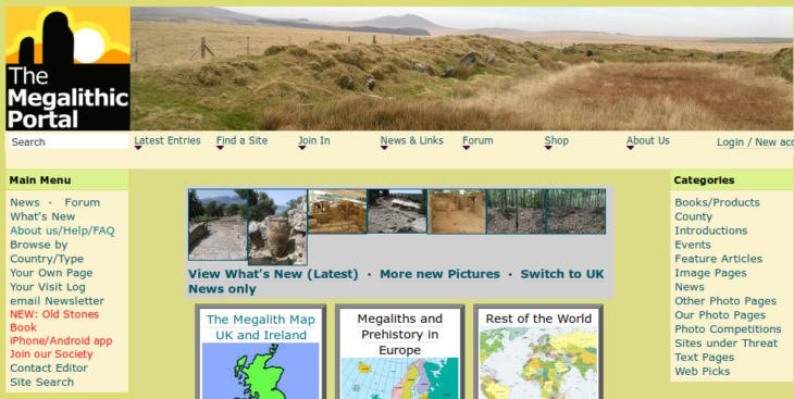
Megalithic Portal: Transitioning to OpenStreetMap
The Megalithic Portal is an international site with extensive data and over 150,000 images of ancient sites from all over the world. The site is much more than a map-based […]