Author: OpenStreetMap UK CIC

Our asks of the Geospatial Commission
Introduction OpenStreetMap United Kingdom Community Interest Company (C.I.C), supports the members and users of the OpenStreetMap project who either reside in the UK, or who undertake activities associated with UK […]

UK set to benefit from the release of more geospatial data
Last week the Chancellor of the Exchequer presented his Autumn Budget to Parliament. This included the announcement of a new Geospatial Commission tasked with maximising the value of all UK […]
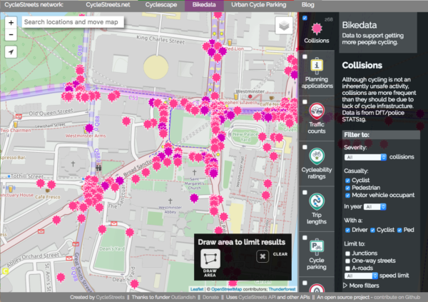
CycleStreets: Powering cyclists with OpenStreetMap
CycleStreets is a social enterprise, promoting cycling by the provision of UK-wide information on cycle-friendly routes, and various tools for cycle advocacy groups. CycleStreets is one of the earliest high-profile […]

Jump in to our quarterly mapping project
The results are in. For our Oct-Nov-Dec quarterly mapping project we will be focusing on addresses. Although it is early days we already have some amazing tools available to track […]
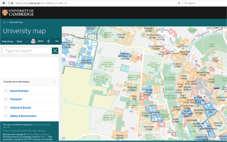
Mapping a distributed campus for the University of Cambridge
In 2011, the University of Cambridge needed to update its map services for visitors, new staff and students. Unlike most UK universities, it does not occupy a campus: it is […]
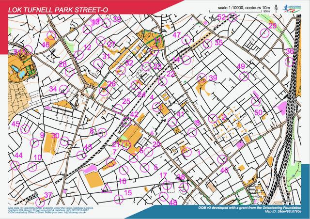
OpenOrienteeringMap
OpenOrienteeringMap (not to be confused with the new OpenOrienteering Mapper project) is an orienteering map of the world, based on OpenStreetMap data. There are three formats; Street-O Plus, Street-O Lite and Pseud-O. […]
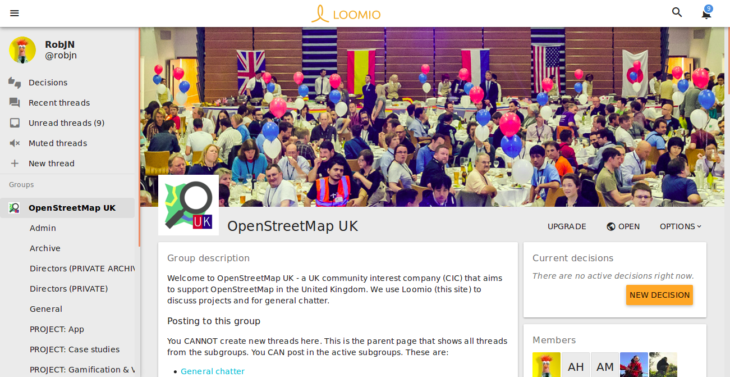
Join the conversation
As with any new company, we have lots to do and a lot of decisions to make. Although we continue to monitor the “talk-gb” mailing list, often it’s nice to […]
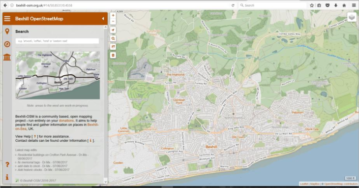
Bexhill OSM: Celebrating local pride
Bexhill is a rather traditional British town – it has a lot of independent businesses and a wealth of history. Local mapper Alexis Markwick wanted to herald this with an […]
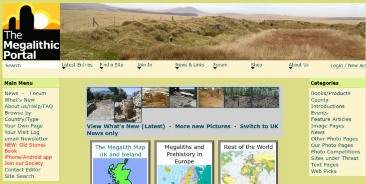
Megalithic Portal: Transitioning to OpenStreetMap
The Megalithic Portal is an international site with extensive data and over 150,000 images of ancient sites from all over the world. The site is much more than a map-based […]