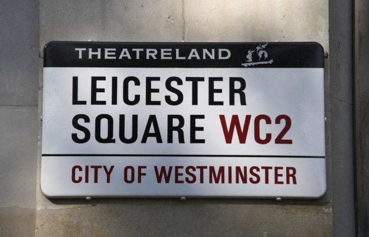
Revisiting addresses for the 2018 Q4 Quarterly Project
A modern map includes information about a whole range of things and OpenStreetMap is no different. Our dedicated community all love to add to the map and since 2015 we have been running quarterly mapping projects as a way to come together and word extensively on a single topic.
After 15 varied and exciting projects, we decided it was about time we revisited some from our past. Our community poll resulted in a dead heat between “addresses/postcodes” and Food Hygiene Rating System (FHRS) data. To break the dead heat, and avoid confusion, Brian cast a deciding vote and picked addresses/postcodes for Q4 2018. We’ll revisit FHRS data Q1 2019.
So jump right in: the UK 2018 Q4 Project is “Address and Postcodes revisited”.
